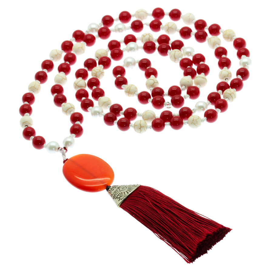
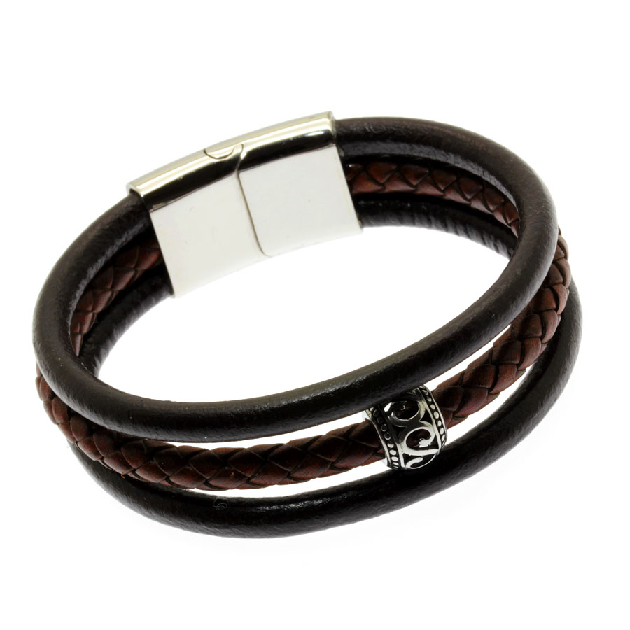
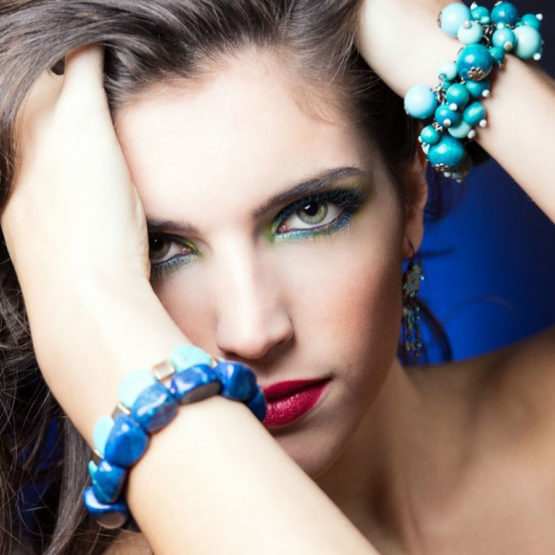
Brilhe com peças de bijuteria únicas e exclusivas da JAFY’s… Seja o seu próprio estilo! Só fazemos uma peça de cada ou Edições Limitadas. Não perca a sua!
Irá seguramente encontrar o que procura.
Colar de couro branco entrançado com pendente em vidro sobre base metálica prateada. Feito com couro entrançado branco. O pendente é vidro e foi criado com cor azul claro com efeito "estalado" (4,5 x 3,3 cm)
Colar de corrente com estrela brilhante. Feito com corrente fina prateada e contas bicone em vidro em tom de preto espelhado e em cubo em tom de cristal espelhado. O pendente é totalmente criado em resina brilhante em tons pérola e preto.
Colar de corrente com coração vermelho brilhante em resina. Feito com corrente prateada brilhante. Pendente em forma de coração totalmente construído em resina com rebordo de fita metálica prateada.
Brincos de resina. Feitos com pendentes totalmente criados com resina brilhante em forma de coração, em tons de cor-de-rosa com aplicação de brilhantes. Tem contas em acrílico cor-de-rosa claras.
Colar de contas castanho e cinza. Feito com contas em acrílico em tons de castanho, bege e cinzento. As contas cinzentas mescladas são em forma de flor.
Colar fino prateado com pendente trevo de 4 folhas. É o trevo da sorte. Feito com corrente muito fina prateada. O pendente é um trevo de 4 folhas metálico prateado. Muito elegante, fica junto ao pescoço. Estrutura prateada. Fecho tipo mosquetão. Tamanho: 45 cm
Edição Limitada!
Brincos de pérolas de água doce em aço inoxidável. Feitos com corrente e peças em aço inoxidável que não muda de cor nem fica escura ao longo do tempo. O aço inoxidável não provoca alergia na pele. Feitos também com pedras naturais: as pérolas de água doce, pedras nobres e delicadas.
Edição Limitada!
Pulseira em aço inoxidável com flor de brilhantes. Pulseira feita com corrente prateada em aço inoxidável de elos pequenos. O centro é composto por uma flor metálica com a zona central cheia de brilhantes. Esta flor metálica não é em aço inoxidável. O centro da pulseira comporta ainda um pendente gota de cristal em tons bronze e uma pérola de água doce. Do outro lado da pulseira, embutido na corrente tem também um cubo em cristal com reflexos também em tom bronze.
Edição Limitada!
ESCOLHAS TOP
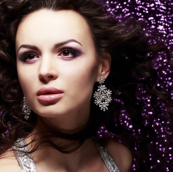
Momentos especiais merecem peças especiais. As bijuterias da JAFY\’s são únicas e exclusivas… O momento ficará ainda mais memorável!
O seu momento ao seu estilo com muito bom gosto, sim!
Para que não lhe falte por onde escolher a JAFY\’s Jewelry disponibiliza muitos modelos, muitas cores e muitos estilos. Peças únicas e exclusivas para que se sinta mais confiante e mais bonita.
O seu look vai ficar perfeito!
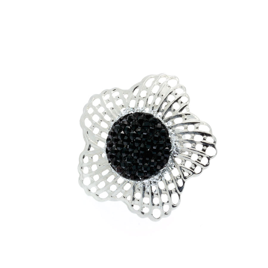
Cuidadosamente criado, este anel é feito com uma base prateada ajustável trabalhada no rebordo – furada – e aplicação em acrílico preto com textura cheia de brilho ao redor. Vai fazer toda a diferença nas suas mãos! E vai ficar super elegante!
Want create site? Find Free WordPress Themes and plugins.Online dating has transformed the way people find love and build relationships. In the digital age, the…
Want create site? Find Free WordPress Themes and plugins.It’s an excellent way to correct errors without wasting hours finding a missing coma somewhere inside your…
Want create site? Find Free WordPress Themes and plugins.Therefore, it is capable of providing greater stability and a bug-free experience. Next, go to the MI…